
Get to know Calgary, one community at a time
Looking for a Calgary community map? You’re in the right place. Calgary has a lot of neighbourhoods, and it can be hard to picture where everything sits. Use the interactive map to search for a community, explore different areas, and click around to get a better feel for the city.
We couldn’t find that community. Try another name or choose an area on the map.
Prefer a copy you can save? We’ll send you the printable version.
Click a community to see its name and explore further. Zoom in or switch to street view for a closer look.
Want a Calgary community map you can keep?
Sometimes it’s easier to see the whole city at once.
If you’re comparing neighbourhoods or planning a move, grab a printable copy of the Calgary Community Map.
Keep it handy, and come back to the interactive version whenever you want to zoom in.
A printable overview of Calgary communities, grouped by area.
Get the printable map
Rather explore online? Back to the interactive map
NW, NE, SW or SE? Here’s how Calgary is laid out
Calgary addresses use four quadrants: Northwest, Northeast, Southwest and Southeast. Centre Street and the Bow River help you get oriented, but the interactive map is the easiest way to see where a specific community sits.
-
Northwest
Home to the University of Calgary, Nose Hill Park and neighbourhoods along the Bow River. There are established communities, parks and easy routes west.
-
Northeast
You’ll find Calgary’s airport, a great mix of local businesses and restaurants, and communities with strong roots across the city.
-
Southwest
From established inner-city streets to communities near the Glenmore Reservoir and farther west, there’s plenty of variety here.
-
Southeast
A mix of established neighbourhoods and newer communities, including lake areas and access to Fish Creek Park.
An address quadrant isn’t the same thing as one of the map’s colour-coded community areas. Use the map to see the exact location.
Same city. Very different neighbourhoods
Calgary’s communities are grouped into eight broad areas on this map. Some put you close to downtown and the river pathways. Others give you more room, newer neighbourhoods or a different commute. Choose an area to see which communities fall within it.
-
City Centre
Close to downtown, restaurants, established neighbourhoods and river pathways.
-
North
Residential communities with access to parks and the open space around Nose Hill.
-
Northwest
Communities near the Bow River, the university and Calgary’s northwest parks.
-
South
Established neighbourhoods, shopping and access to the Glenmore Reservoir area.
-
West
Hillside communities, foothills views and routes toward the mountains.
-
Northeast
A diverse mix of neighbourhoods, local businesses and easy access to the airport.
-
Southeast
Growing communities, lake neighbourhoods and access toward Fish Creek Park.
-
East
Established communities, local food spots and connections around International Avenue.
Photo credits
City Centre and West: LiveInnerCity. Other areas via Wikimedia Commons.
- North: Guillaume Pelletier, CC BY-SA 4.0
- Northwest: Michael from Calgary, CC BY 2.0
- South: Bernard Spragg, CC0
- Northeast: Milan Suvajac, CC BY-SA 4.0
- Southeast: Bernard Spragg, Public domain
- East: CnekYT, CC BY-SA 4.0


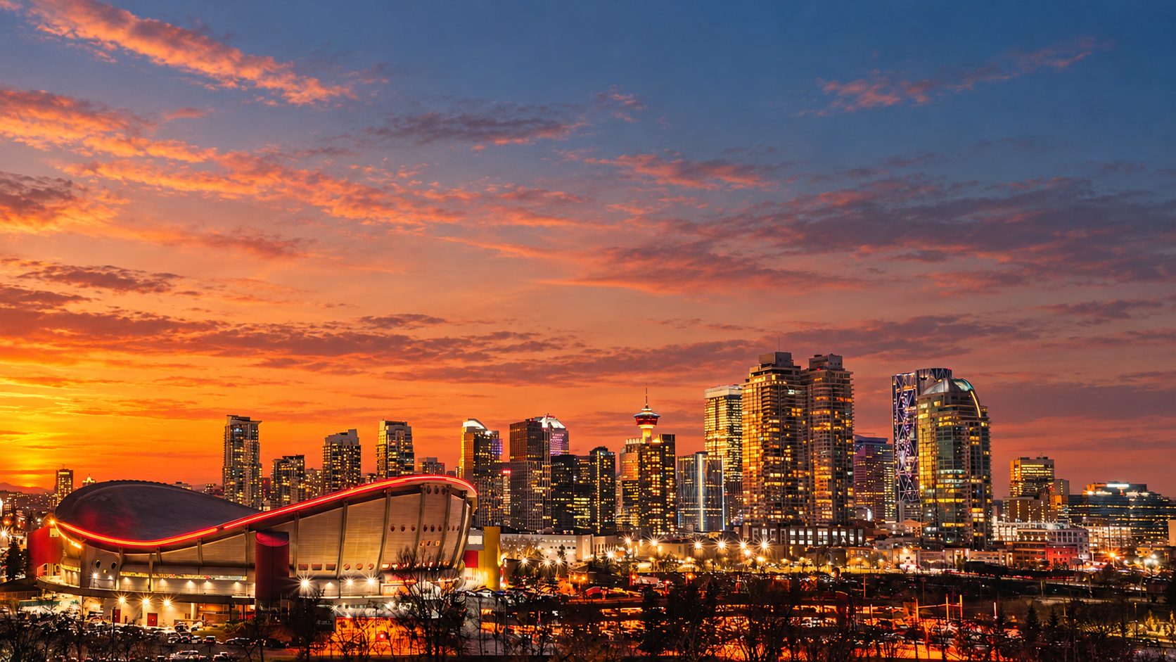
Found a community that caught your eye?
The map is a great place to start. Next comes figuring out whether a neighbourhood works for your day-to-day life — the commute, the kind of home you’re looking for and the places you want nearby. Browse our neighbourhood guides, or reach out and we’ll help narrow things down.